Specs Fine Books
1895 CHINA INLAND MISSION. Important Late 19th Century Missionary-Used Map of China.
1895 CHINA INLAND MISSION. Important Late 19th Century Missionary-Used Map of China.
Couldn't load pickup availability
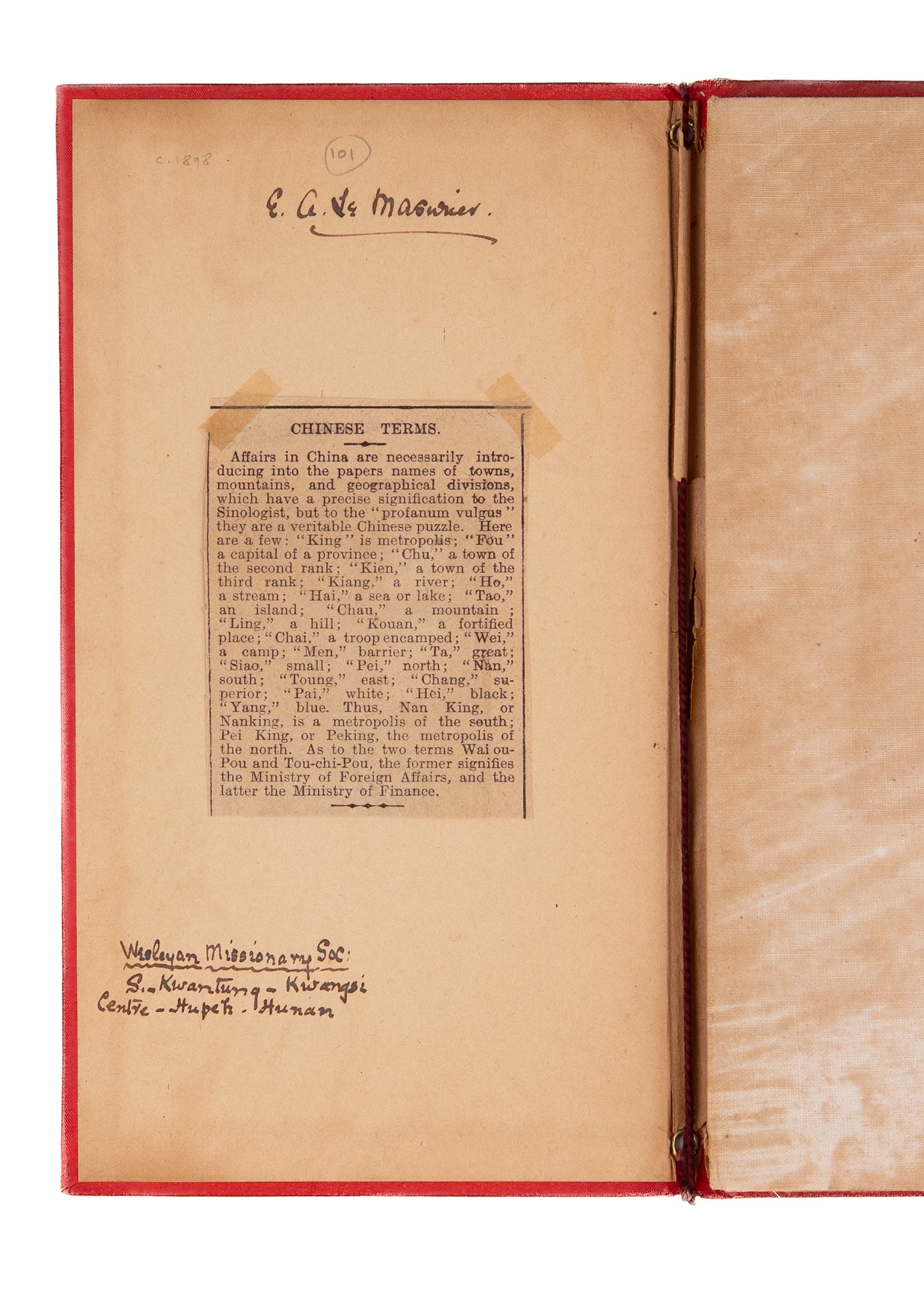
Prepared by Stanford's Geographic Establishment, Hudson Taylor's organization's Map of China Prepared for the China Inland Mission became standard use among the all the missions. The present example used by a Wesleyan missionary . . .
The map itself is more than cartographic. It indicates every mission station operated by the China Inland Mission by underlining the location in red, with free ports also noted, underlined with a dotted line. Some of these missionary outposts were joint ventures with Presbyterians, Methodists, Wesleyans, etc.,
The top is about at the 42nd parallel, with the Eleuth Tribes, the Shan Mountains, the Chahar region north of Peking, and Shingkin of northern Corea [Korea] along the border. The southern border begins with Rangun [Rangoon] on the west, and proceeds into the Tong King Gulf south of Hainan, with an inset map of England on the right for scale.
The map was effected by Edward Stanford's Geographic Establishment, founded in London in 1853. It was the premier cartographic firm of late 19th century world. Their productions were depended upon by governments, explorers, missionaries and surveyors worldwide. "Maintaining a very high standard of lithographic production, Stanford’s maps were remarkable for their signature style, employing clear, carefully placed text, clean lines and attractive colours, as brilliantly exemplified by the present work."
The color, linen-backed map measures 16 3/4 x 19 inches when unfolded and is housed in an attractive red cloth integrated folder, measuring 5 8 3/4.
[Edward Stanford's Geographic Establishment]. Map of China. China Inland Mission Newington Green London. N. c.1895.
A very good copy, bound in cloth, lightly shaken, with generally bright clean image.
Share